Geoinfer
What is GeoInfer?
GeoInfer is an advanced AI-powered[1] image geolocation[2] platform designed for OSINT[3] investigators, law enforcement, and security professionals. It allows users to geolocate images based solely on visual analysis, without requiring any GPS, EXIF data, or metadata. This innovative tool provides global coverage, enabling accurate location predictions in various environments, including urban areas, rural regions, and conflict zones. With sub-second inference[5] capabilities, GeoInfer is tailored for live investigative workflows, ensuring rapid and reliable geolocation of images.
How to use GeoInfer?
- Visit the GeoInfer website and navigate to the platform.
- Upload an image that you want to geolocate.
- Wait for the analysis, which takes less than a second.
- Review the geolocation results provided by the AI model, which will include the predicted location based on visual cues.
What are the main features of GeoInfer?
- No Metadata[4] Required: Geolocate images without relying on EXIF data or GPS information.
- Sub-Second Inference: Achieve location predictions in under a second, suitable for real-time analysis.
- Global Coverage: Access geolocation capabilities in remote areas and conflict zones worldwide.
- Data Sovereignty: Maintain data privacy with zero-retention policies and AES-256 encryption.
- GPS-Denied Geolocation: Determine locations even when GPS signals are unavailable or jammed.
- Batch & API Access: Process thousands of images simultaneously and integrate with existing systems via REST API.
Who is GeoInfer for?
GeoInfer is designed for a diverse range of professionals including OSINT investigators, law enforcement officials, insurance fraud analysts, and security professionals. It serves those who require reliable image geolocation capabilities without the need for metadata. Additionally, investigative journalists and enterprise teams can benefit from its ability to verify the authenticity and location of images, making it a versatile tool across multiple sectors.
What are the use cases of GeoInfer?
- Law Enforcement: Geolocate images in criminal investigations to authenticate evidence and verify crime scene locations.
- Insurance Fraud Detection: Validate insurance claims by verifying the locations of submitted images and detecting fraudulent activities.
- Investigative Journalism: Confirm the origin and location of images used in news stories, aiding in fact-checking and source verification.
Geoinfer Pros and Cons
Pros
- No Metadata Required: GeoInfer can geolocate images without needing any metadata, making it effective even when EXIF data is stripped or absent.
- Fast Inference Speed: The platform provides location predictions in under a second, suitable for real-time investigations and high-volume processing.
- Global Coverage: GeoInfer works in diverse environments, including remote areas and conflict zones, ensuring reliable geolocation worldwide.
Cons
No cons data detected for this tool
Geoinfer Pricing
Custom Regional Models
Models trained on your specific area of operations. Meter-level accuracy for jurisdictions where precision matters. Available for law enforcement, government, and enterprise clients.
For the latest pricing, please visit this link: https://geoinfer.com/en#pricing
Prices are subject to change. Please visit the official website for the most up-to-date pricing information.
Analytics of Geoinfer
Geoinfer Website Traffic Analysis
Visits Over Time
Traffic Sources
Dec 2025 - Jan 2026 Worldwide Desktop Only
- Search: 44.01%
- Direct: 34.93%
- Referrals: 13.39%
- Social: 4.67%
- Paid Referrals: 1.58%
- Mail: 0.47%
Top Regions
| Region | Percentage |
|---|---|
🇫🇷 France | 100.00% |
- France: 100.00%
Top Keywords
| Keyword | Volume | CPC | Estimated Value |
|---|---|---|---|
| geoinfer | 0 | $0.00 | $120.00 |
| ai geoint image | 200 | $0.00 | $0.00 |
| geoosint by photo ai | 150 | $0.00 | $0.00 |
Geoinfer Compare
| Tool Name | Introduction | Pricing | Type | Rating | Launch Date | Learn more |
|---|---|---|---|---|---|---|
Wolfram|Alpha: Computational Intelligence | Free | -- | July 30, 2008 | Get deal | ||
Notion - Company OS for Small Businesses | Free | -- | January 12, 2025 | Get deal | ||
Luminal: Clean, transform and analyze spreadsheets 10x faster with a powerful AI copilot. | Free | -- | July 23, 2021 | Get deal |
Info current as of post date. Offers and availability may vary by location and are subject to change.
Geoinfer Q&A
GeoInfer geolocates images using AI — without GPS, EXIF, or any metadata. Upload a photo, and the model analyzes visual cues like architecture, terrain, vegetation, and infrastructure to determine where it was taken. Results in under a second, from anywhere in the world.
For more FAQs, please visit this link: https://geoinfer.com/en#faq
Geoinfer Alternatives
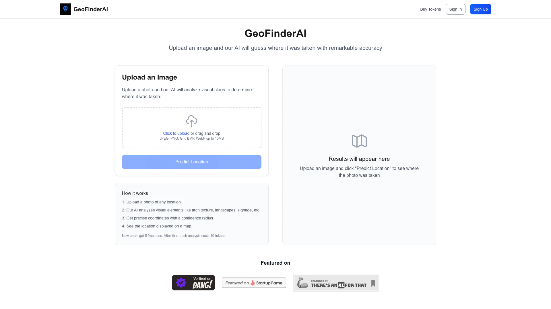
Discover photo locations with AI accuracy.
- Image Analysis
- AI Image Geolocation

Remove image backgrounds automatically in 5 seconds with just one click. Don't spend hours manually picking pixels. Upload your photo now & see the magic.
- Image Generation & Editing
- AI Background Remover
- AI Image Enhancer
- AI Image Segmentation
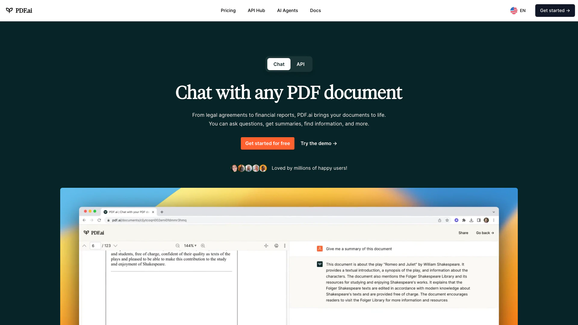
We built the ultimate ChatPDF app that allows you to chat with any PDF: ask questions, get summaries, find anything you need!
- Image Analysis
- AI Document Scanner
- Ai Developer Tools
- Ai Document Extraction